Event Announcement
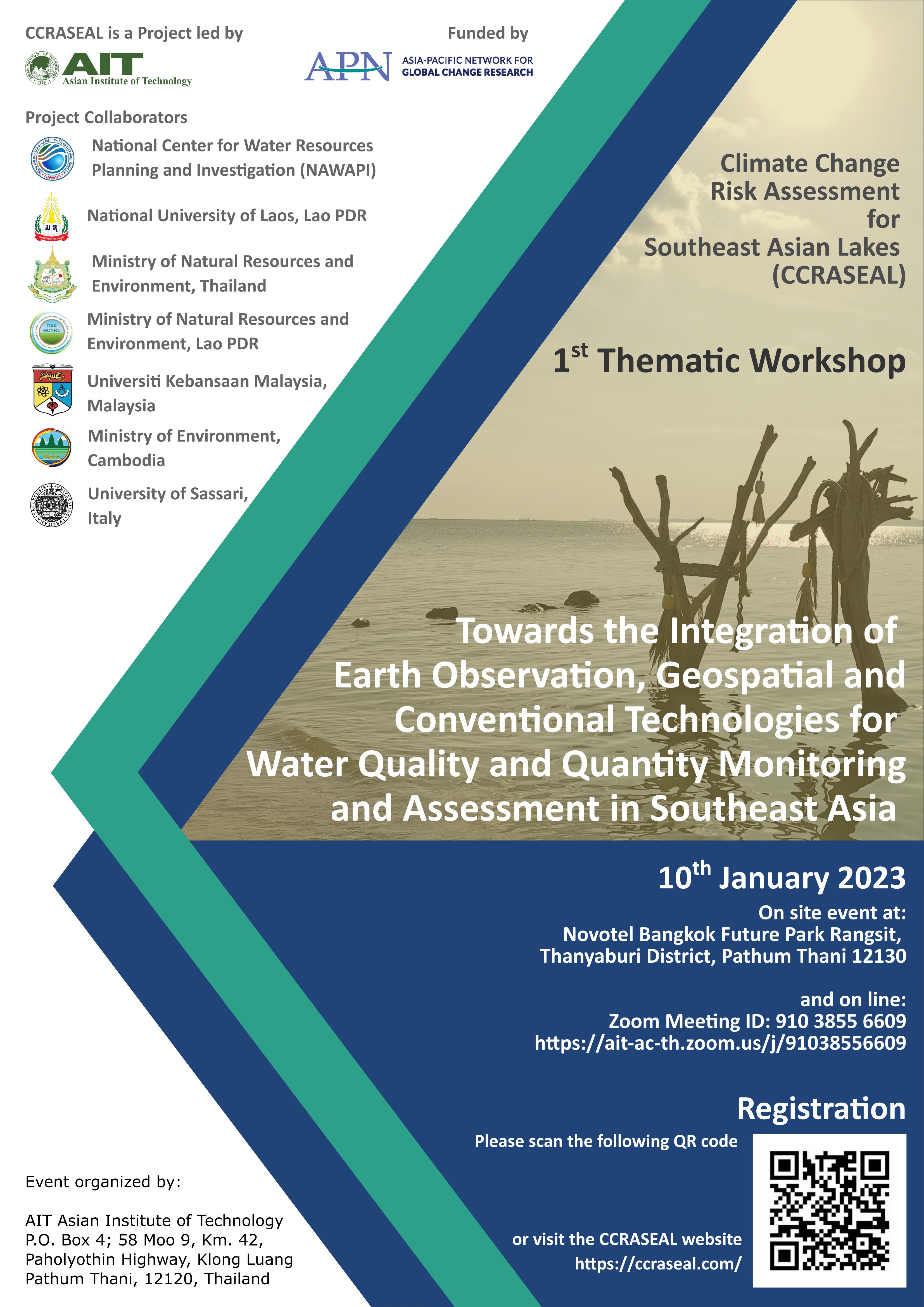
CCRASEAL project is pleased to invite you to attend the regional thematic workshop “Towards the Integration of Earth Observation, Geospatial and Conventional Technologies for Water Quality and Quantity Monitoring and Assessment in Southeast Asia” to be held on 10th January 2023, at Novotel Bangkok Future Park Rangsit, 12130 Pathum Thani, Thailand, and in hybrid mode.
The workshop is organized within the framework of the Climate Change Risk Assessment for Southeast Asian Lakes (CCRASEAL), a research project funded by the Asia-Pacific Network for Global Change Research (APN) and lead by the Asian Institute of Technology.
The workshop aims at assessing current earth observation and geospatial technologies, methods and data integration approaches for coastal and inland water quality/quantity monitoring and evaluation at regional and local scales It will elicit collaboration among government agencies, research, academic community and private sector, in order to identify best practices for water quality and quantity monitoring and assessment in Southeast Asia.
The event will bring together a range of stakeholders including CCRASEAL collaborators from the five focus countries such as Thailand, Cambodia, Lao PDR, Malaysia and Vietnam, government officials, civil society, NGOs, working professionals on water quality/quantity assessment and management in private sectors and academia.
Workshop scientific rationale
Monitoring and assessment of physical, chemical and biological characteristics of water are crucial to support decision-making on health and environmental issues. Monitoring water quality and quantity should therefore receive adequate attention particularly in developing and transitioning countries where existing water monitoring networks and expertise on water resources assessment and management are all lacking.
Over recent years, Earth Observation (EO) and geospatial technologies have consolidated their capability and confidence of assessing water variables through radiometric measurements of water’s optical properties. Furthermore, they showed to be essential tools to assess the ecological state of inland and coastal waters and to identify changes or trends over a continuous and broad range of spatial and temporal scales. However, even though important parameters (i.e. surface areas and levels, suspended sediments, dissolved organic matter, phytoplankton pigments and biomass, submerged aquatic vegetation, temperature etc.) have been quantified with adequate accuracies, water -related information retrieved through EO and geo-technologies is still complementary to traditionally retrieved information.
Relevant advances have been recently made in algorithms improvements, processing applications, sensor technology and satellite-derived products development and accessibility. This has certainly increased the potential applications of earth observation methods to water resources management.
However, to date, government and management agencies have been slow to adopt satellite-derived measurements because of lack of processing skills, expertise as well as of standard information retrieval protocols.
For this reason, there is still need discussions among scientists, stakeholders, policy makers and environmental managers on the effectiveness of integration of advanced EO and traditional technologies into national and international near-coastal and inland water quality monitoring efforts.
The aims of the workshop are
- To assess current earth observation advances technologies, methods and data integration for coastal and inland water quality/quantity monitoring and evaluation at regional and local level with a specific focus on SEA case studies.
- To identify best practices for the SEA region, new, improved and integrated data streams, products and strengthen communications between water quality managers and the research community.
Target audience
The event will bring together a range of stakeholders including CCRASEAL collaborators from the five focus countries (Thailand, Cambodia, Lao PDR, Malaysia and Vietnam), government officials, civil society, NGOs, working professionals on water quality/quantity assessment and management in private sectors and academia.
Structure of the Workshop
The workshop is a 2 (full) days event to be conducted in presence in Bangkok (Thailand) and online (via Zoom platform).
Day 1
- Morning session will be dedicated to scientific presentations to be provided by CCRASEAL Project Partners and invited speakers who are directly working on integration of earth observation, geospatial and conventional technologies for water quality and quantity monitoring and assessment in southeast asia or in other relevant regions globally.
- Afternoon sessions will have a group and/or plenary discussion and/or round table form. Stakeholders will be invited in presence and online to participate to the discussion.
Day 2 (Only for Project partners and collaborators)
- Field trip to permanent monitoring stations at PCD and/or MWA (at rivers and/or lakes).
Registration
To register for the event, please scan the following QR code or click the following link:

Please could you confirm your availability to join the workshop to Siwat Kongwarakom, siwatk@ait.asia, specifying whether you will be joining in person or online (Zoom link to follow).
Program of the 1st CCRASEAL thematic workshop